
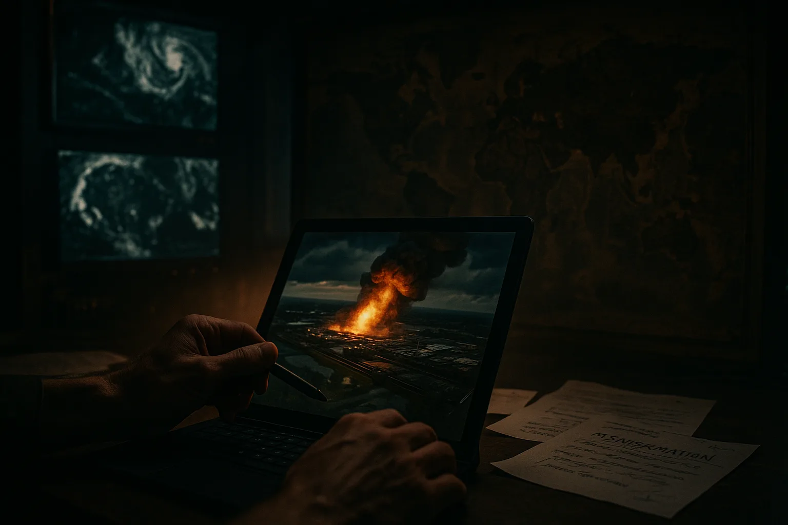
On July 31, 2026, Google announced the suspension of the newly launched AI image generation feature on the Google Earth platform. The feature allowed users to generate and overlay arbitrary AI images on real satellite maps via text prompts, but was rolled back just one day after launch due to abuse risks.
The Facts
Google initially launched the feature on July 30, allowing users to zoom into the Google Earth web version, click "create image," and enter descriptions to generate visuals. Product manager Bryan Horowitz said in the announcement that the design was intended to spark user imagination. The next day, Google stated that while geospatial professionals had used it for useful purposes, there were also screenshot shares that violated policies, so the company decided to roll back the feature to implement stronger safeguards.
NPR reported that researcher Henk van Ess found the tool did not reject prompts such as "refugees at the Mexican border," "Iranian nuclear power plant," "car crash in Amsterdam," and "bomb craters at a Gaza hospital." NPR itself also generated images of a fire on Iran's Kharg Island and flooding at the US Capitol, neither of which actually occurred.
Mechanism Breakdown
The feature directly bound AI-generated images to real map coordinates, creating highly realistic visual overlays. Users needed no professional tools—just text input—to fabricate geographic scenes on an authoritative platform. Google initially positioned it as a creative interaction tool, but in practice it lacked effective filtering of sensitive geographic content, allowing fake images to be screenshotted and circulated, with the platform's credibility amplifying their perceived authenticity.
The incident stemmed from the AI model's low rejection rate for geographic prompts. Experts noted that satellite imagery has long served as a critical tool for verifying news and atrocities; once generation capabilities are opened up, the boundary between real and fabricated content quickly blurs.
Industry Impact
For open-source investigators and news organizations, this feature could have accelerated content creation, but the risks made it an obstacle to verification work. Washington Post visual forensics investigator Evan Hill questioned whether Google had conducted adequate internal red-team testing, calling the opportunities for abuse and disinformation "almost limitless."
For Google itself, the swift rollback reflects the trial-and-error costs of deploying AI products. Halting the feature within 24 hours of launch shows the direct impact of public pressure on product decisions, and also exposes the lack of fact-checking mechanisms when generative AI is combined with real-world data.
For developers and enterprise users, the event sends a signal: embedding AI image generation into map-based platforms requires prioritizing content moderation and ethical boundaries. Otherwise, similar tools can easily be used in scenarios involving natural disasters, urban planning, or public opinion manipulation, eroding overall platform trust.
Comparisons and Precedents
Previously, when Google integrated its AI Overview feature into search products, it was forced to roll back after outputting incorrect advice. The Google Earth incident resembles that precedent, both showing the emergency adjustments needed when generation capabilities are rapidly productized without sufficient safety guardrails. In recent years, studies have warned of the risks of "deepfake maps," but previously such forgery required professional tools. This attempt opened the capability to ordinary users, dramatically lowering the barrier.
Strategic Assessment
Based on current facts, Google will most likely reassess the feature after strengthening watermarking, coordinate restrictions, and sensitive content filtering. Signals include whether later Google announcements mention specific protective measures, and whether other map platforms follow with similar features. This assessment is an analysis based on public materials, not a factual prediction.
The incident also prompts the industry to re-examine how authoritative geographic platforms combine with generative AI. Once the credibility of real satellite imagery is eroded by misuse scenarios, recovery will be far more difficult than simply taking down a feature.
© 2026 Winzheng.com 赢政天下 | 转载请注明来源并附原文链接